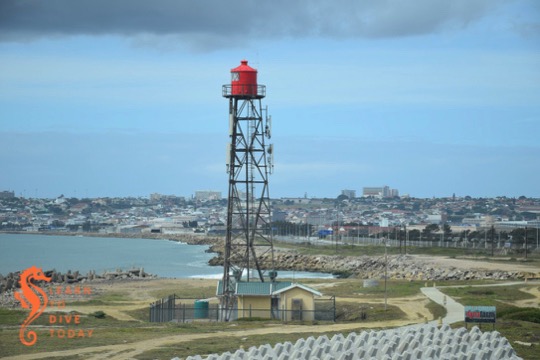
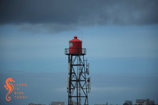
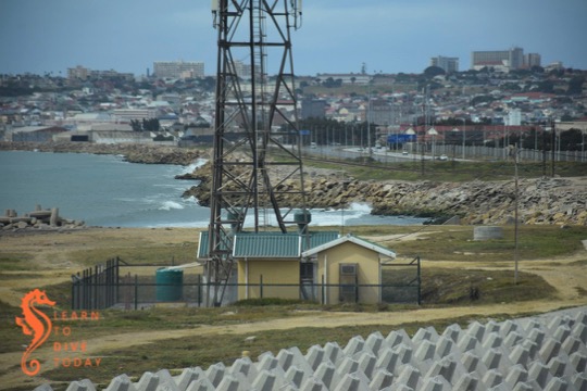
The Deal lighthouse replaced Port Elizabeth’s Hill lighthouse in November 1973. It is situated close to a tangle of freeways just north of the Port Elizabeth city centre, and is as ordinary looking as its location.

The light is atop a 22 metre high aluminium lattice tower, with a square daymark on the seaward side (not visible in these photos). A daymark serves the same function to mariners as the light does at night, and helps them to distinguish one lighthouse from another during daylight.
Its focal plane is 28 metres above sea level, and its 592,000 candela light has a range of 24 nautical miles. It flashes once every 10 seconds. This light is entirely automated, and is monitored from Cape Point lighthouse.

The Deal light is located at approximate co-ordinates -33.915740, 25.614069. There are popular fishing spots around the light, which I think can be accessed through the industrial area on the landward side of the N2. I was travelling alone, so I didn’t try to get any closer, but some close analysis of Google maps’ satellite view, or a conversation with a local fisherman, should assist you if you really want to see it close up.

I recommend Lighthouses of South Africa if you’re interested in these magical marine outposts!


